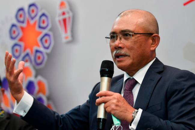
SHAH ALAM,July 4 – The GeoTanaman and GeoTanih systems can help farmers to strengthen the national food chain, especially by making the food crop sub-sector more efficient and sustainable to reduce the impact of food crisis, said Datuk Seri Dr Ronald Kiandee.
The Agriculture and Food Industries Minister called on industry players to make full use of the two systems, which were developed by the Agriculture Department for more efficient agricultural development planning.
He said the system would benefit farmers and wholesalers in planning agricultural productivity according to demand and supply, and opening up market space for the full benefit of industry players.
The main focus of the GeoTanaman system is to empower the economy of agricultural entrepreneurs, especially in providing quality and safe food for the people and country, he added.
“Direct market matching or e-commerce between farmers and exporters can also be achieved online through this cost-effective, user-friendly system which is accessible to all stakeholders, including other departments or agencies,” he said in his speech at the launch of the systems here today.
Ronald’s speech was read out by the ministry’s deputy secretary-general (policy) Azah Hanim Ahmad. Also present was Agriculture Department director-general Datuk Zahimi Hassan.
Ronald said the GeoTanih system contains basic soil information for agricultural development planning purposes, and it is the key to sustainable land management by farmers and agricultural development planners.
“This system minimises the risk of loss due to the failure of crop projects caused by planting in unsuitable areas. It should be the first alternative that needs to be consulted to recognise the nature of the soil and optimise its use,” he said.
Ronald said through the Aspirasi Keluarga Malaysia GeoTanaman Tour programme held across Peninsular Malaysia beginning early this year, over 1,200 users of the GeoTanaman system, including farmers and wholesalers, had been registered.
In realising the Aspirasi Keluarga Malaysia aim of moving towards a high-income digitalised country, MAFI is also involved in the MyDIGITAL initiative through the Empowerment of the Digital Economy in the agriculture sector, he said.
Zahimi, when met after the event, said the GeoTanaman system could be accessed online to obtain geospatial information on the country’s food crops, and to manage and analyse land use data in Peninsular Malaysia and Labuan.
“The GeoTanaman was developed using the service-oriented architecture concept with two main objectives, including to support the Food Crop Balance of Trade (BOT) data in overcoming the dumping of local fruits and vegetables and the influx of imported vegetables and fruits.
“The second objective is to develop an integrated, seamless and constantly updated National Crop Inventory Geospatial Database towards Digital Agricultural Transformation,” he added.
On the GeoTanih system, Zahimi explained that it was developed to facilitate the search for soil type and crop suitability for each location online.
With these two systems, the efficiency of service delivery to the target group can be improved with accurate and authentic information and data, he said.


